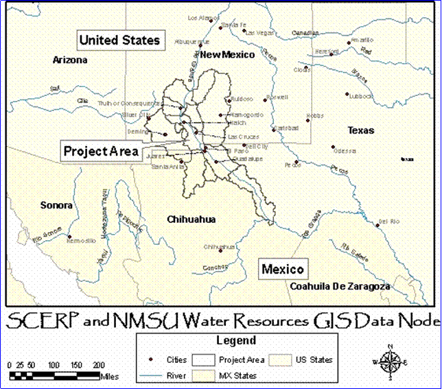
|
The datasets on this website include shapefiles, raster datasets, and tabular data. The shapefiles and raster datasets will be available to download as either a zip file (.zip) or in E00 format (.e00). The tabular data can be downloaded as an Excel file (.xls). Each dataset will include metadata, but we are still working on completing the metadata and translating it into both English and Spanish. THE TABLE BELOW gives an example format for the data download pages. |


|
Questions or Comments? Please Contact Us. |

|
Description of Dataset |
Metadata |
Image |
File Size |
Download |
|
Shapefile: This dataset contains point locations measuring surface water quality along the lower Rio Grande (measuring Fecal Coliforms and BOD). |
15KB |