|
This
project uses ESRI's ArcGIS Server® technology to deliver water flow
data through the internet via a Web Mapping Application (WMA).
The ArcGIS Server 10.x® interface only serves as an entrance
to the data sources and does not serve water flow or quality data directly.
This site also serves as a portal to existing data providers currently
on the internet.
To access the application, click on
the "ArcGIS Server WMA" link in the table of contents to the left. This will take you
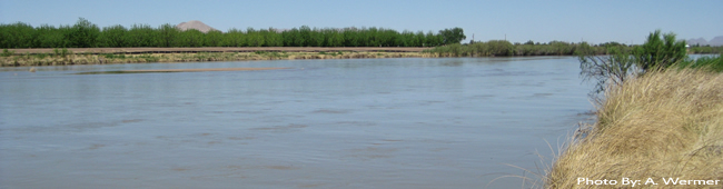
to the WMA. At this point, you should see a map of the study
area along the Rio Grande in the Paso Del Norte region.
If you need more
information or help, please go to the following link:
http://resources.arcgis.com/content/arcgisserver/10.0/about
|